Den vestlige bredThe western shore
København: havnen og tårneneCopenhagen: the harbour and the towers
Hovedstaden ligger med fødderne i vandet, og byens bedste ture går langs kajen.The capital stands with its feet in the water, and the city’s best walks follow the quays.
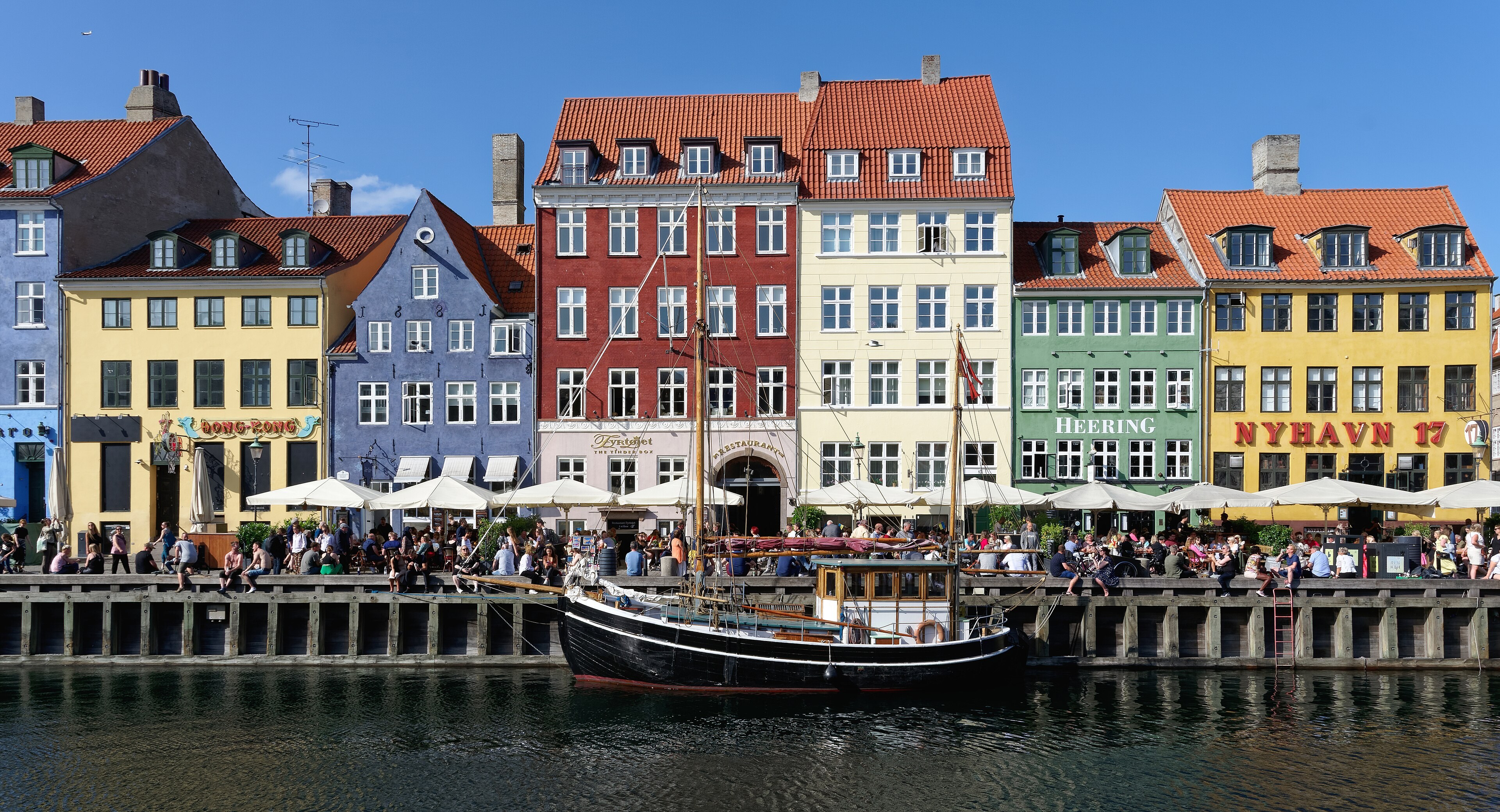
Nyhavn er den kanal, alle tegner Copenhagen fra: træhuse i fulde farver, skibe på tværs og kajkant hele vejen ned til Kongens Nytorv. Kanalen var nemmere at se som indsejling for skibe end som postkort, og det er stadig en arbejdshavn, når foråret kommer.Nyhavn is the canal everyone draws Copenhagen from: timber houses in full colour, ships across the water and a quay all the way down to Kongens Nytorv. The canal read as an entry for ships before it read as a postcard, and it is still a working harbour when spring arrives.
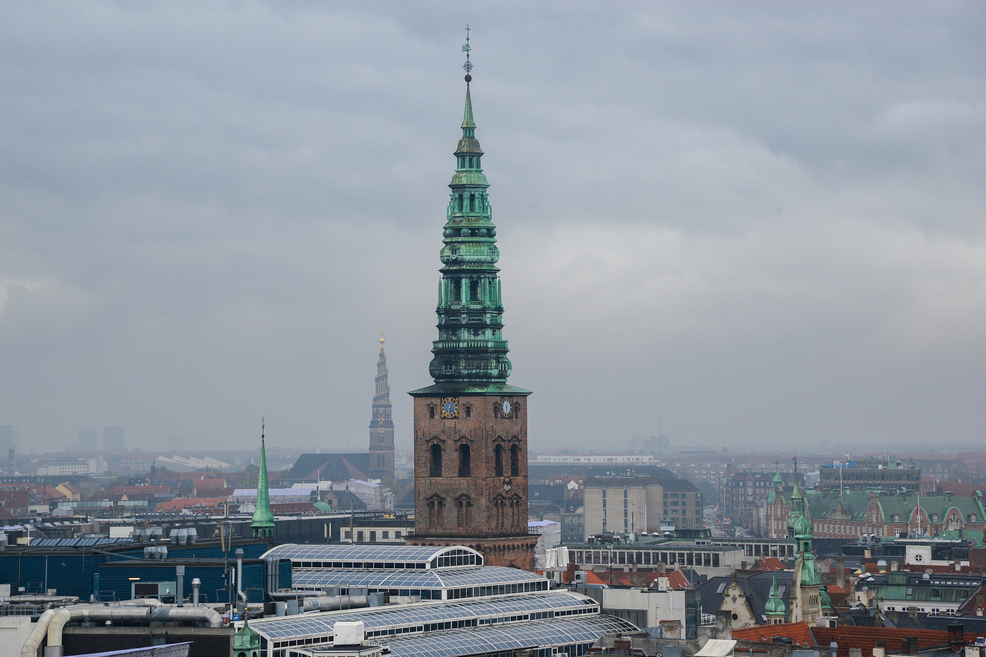
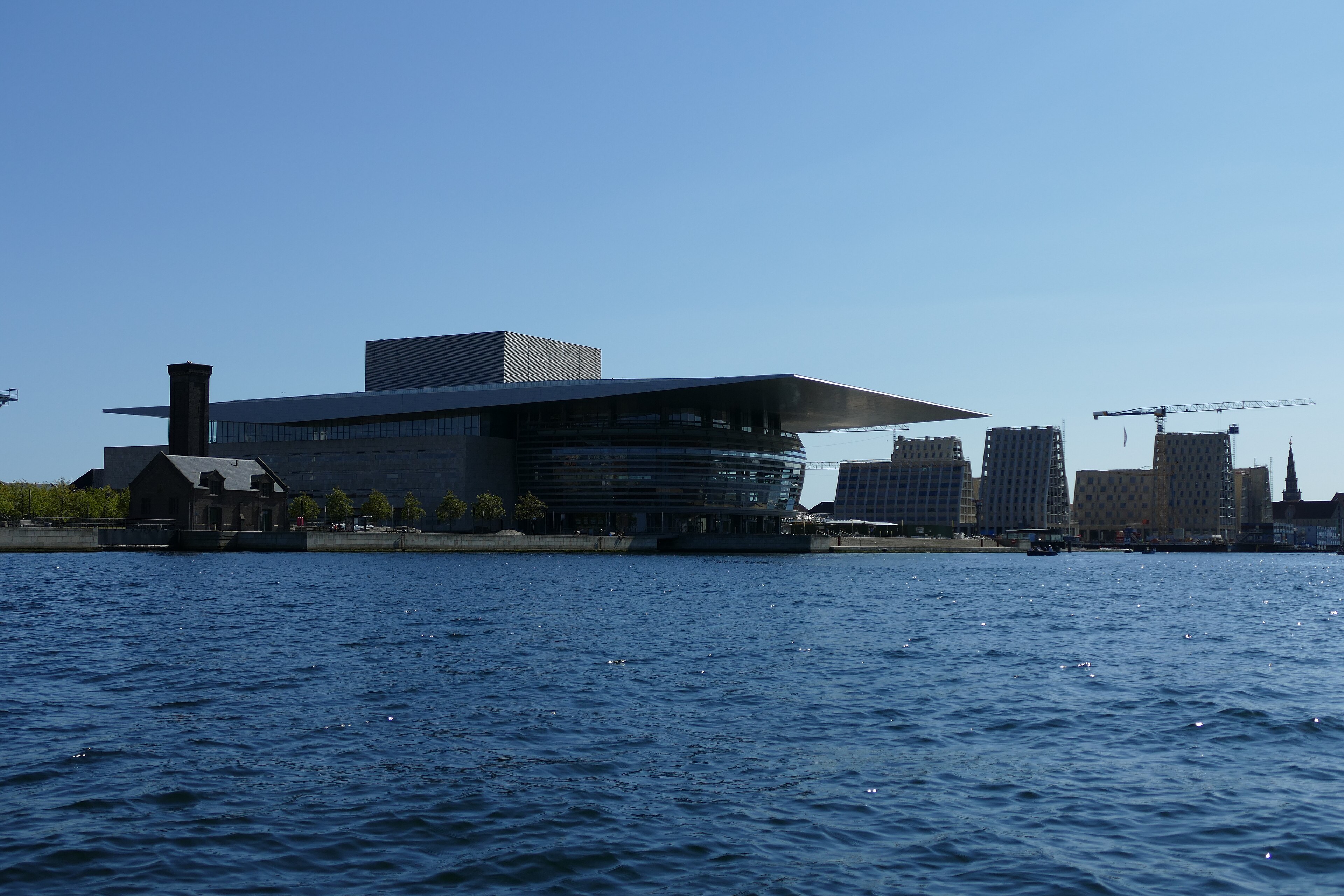
Fra Rundetårn, det cylindriske tårn fra 1642, aflæses byens tage og spir: byen er lav, og horisonten er kirkeernes og havnens. På den anden side af vandet står Operahuset på Holmen, bygget som gave til staten og placeret med facade ud mod Amalienborg.From Rundetaarn, the round tower of 1642, the city’s roofs and spires read at a glance: the city is low, and the horizon belongs to churches and the harbour. Across the water stands the Opera House on Holmen, built as a gift to the state and placed with its facade facing Amalienborg.
Ved broens fodAt the bridge’s foot
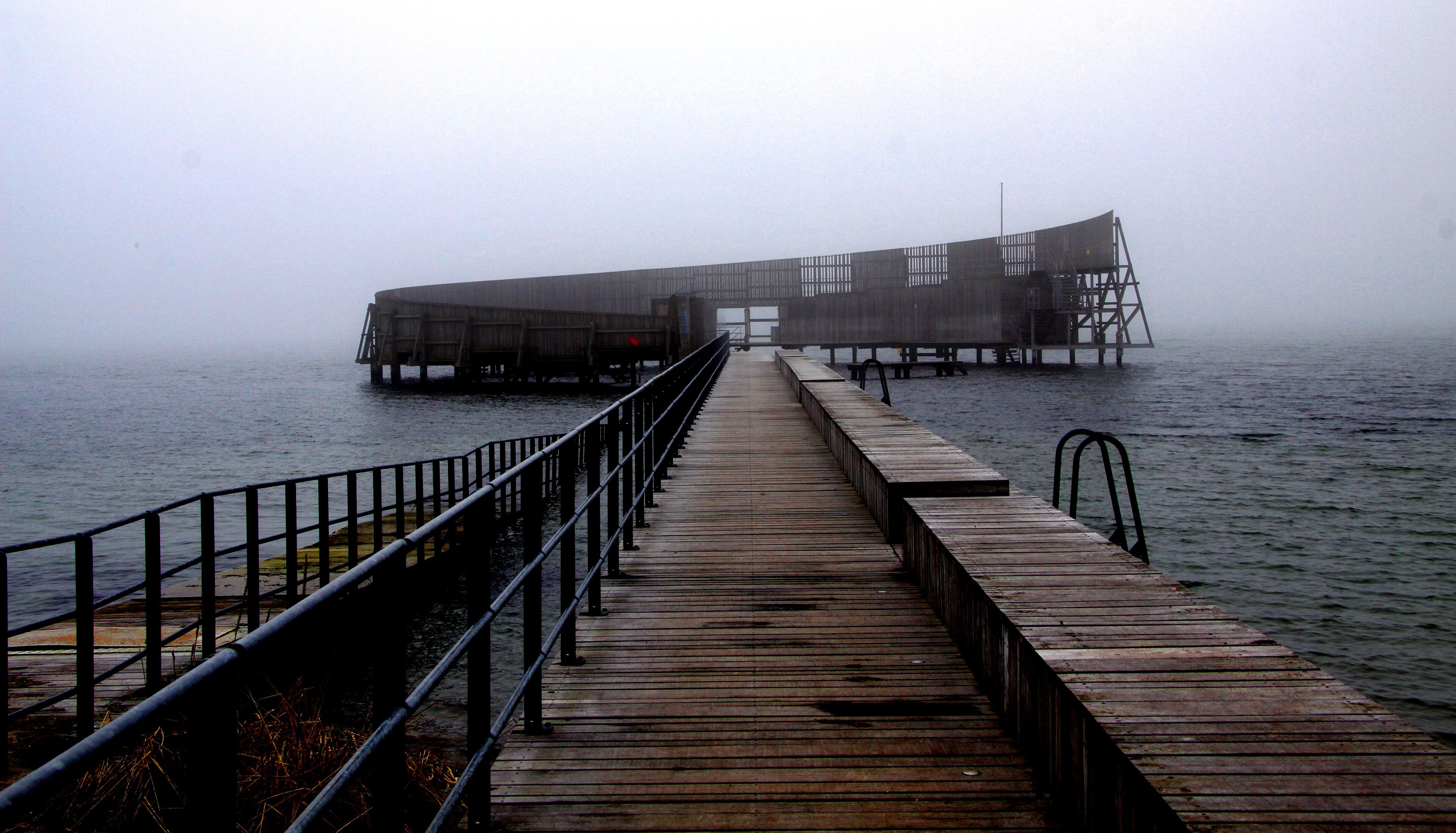
Sydøst for centrum, på Amager, ligger lufthavnen Kastrup og strandområdet Amager Strandpark. Her står Kastrup Søbad, det kurvede badehus af hvid beton, der går ud i vandet med udsigt mod broen. Byens metro kører fra centrum til lufthavnen på få minutter.Southeast of the centre, on Amager, lie Kastrup airport and the beach of Amager Strandpark. Here stands Kastrup Søbad, the curved bath house of white concrete reaching into the water with a view toward the bridge. The metro runs from the centre to the airport in minutes.